GNSS Airborne Radio Occultation (ARO) is a remote sensing technique that measures how signals from Global Navigation Satellite System (GNSS) satellites—such as GPS, Galileo, and GLONASS—bend as they propagate through the atmosphere. From the observed bending angles, ARO retrieves high-vertical-resolution profiles of atmospheric refractivity, which are then used to derive pressure, temperature, and water vapor information. These profiles are densely distributed along the aircraft flight track, enabling targeted and enhanced atmospheric sampling. ARO observations are particularly valuable for improving the understanding and forecasting of localized extreme weather events, such as atmospheric rivers (ARs) and tropical cyclones.


The ARO dataset from Atmospheric River Reconnaissance (AR Recon) and Hurricane Field Program (HFP) campaigns, documentation, and other information are publicly available.
AR Recon is a recurring winter-season observational campaign (November–March) focused on
improving forecasts of atmospheric rivers over the eastern Pacific. ARO observations collected during AR Recon
flights contribute high-vertical-resolution thermodynamic profiles over data-sparse ocean regions.
🔗 More about AR Recon:
Center for Western Weather and Water Extremes (CW3E)
HFP flights are conducted in the Atlantic, Caribbean, and Gulf of Mexico during the summer
hurricane season (July–November). ARO provides complementary observations to dropsondes for investigating
tropical cyclone structure and improving tropical cyclone forecasting.
🔗 More about tropical cyclones:
National Hurricane Center (NHC)
| Campaign | Dataset Type | Last Update | Status |
|---|---|---|---|
| AR2018 | Level2: atmPrf | 2023-11-27 | Available |
| AR2020 | Level2: atmPrf | 2023-11-13 | Available |
| AR2021 | Level2: atmPrf | 2023-11-13 | Available |
| AR2022 | Level2: atmPrf | 2023-11-20 | Available |
| AR2023 | Level2: atmPrf | 2023-10-25 | Available |
| AR2024 | Level2: atmPrf | 2024-02-25 | Available |
| AR2025 | Level2: atmPrf+bfrPrf | 2025-03-25 | Available |
| TC2020 | Level2: atmPrf | 2023-11-09 | Available |
| TC2022 | Level2: atmPrf | 2023-11-09 | Pending QC |
| TC2023 | — | — | Pending |
| TC2024 | — | — | Pending |
🔗 Access the ARO dataset:
https://agsweb.ucsd.edu/gnss-aro/
🔁 Backup server:
https://cw3e-datashare.ucsd.edu/gnss-aro/
ARO observations are particularly valuable in cloud-covered and oceanic regions where satellite radiances may be limited or biased. Over 50% of ARO profiles extend below 4 km, though phase-locked receiver limitations mean fewer profiles penetrate below 2 km. Improved retrieval methods such as open-loop tracking and wave optics inversion are under development to extend lower tropospheric coverage in future deployments.
 ARO profiles show excellent agreement with both in situ dropsonde observations and ERA5 reanalysis data.
Across the mid-to-upper troposphere (4–14 km), the mean refractivity difference is generally
less than 0.5%, and the standard deviation remains below 1.5%, validating ARO’s reliability
for thermodynamic structure retrievals.
ARO profiles show excellent agreement with both in situ dropsonde observations and ERA5 reanalysis data.
Across the mid-to-upper troposphere (4–14 km), the mean refractivity difference is generally
less than 0.5%, and the standard deviation remains below 1.5%, validating ARO’s reliability
for thermodynamic structure retrievals.
 To make the best use of ARO data, it’s important to understand how reliable these measurements
are—especially since the quality of radio occultation observations can be affected by environmental conditions in the lower
atmosphere. Using refractivity anomaly (N’) derived from dropsondes, we train a Gaussian Mixture Model
(GMM) to identify different air masses within ARs. We then apply this trained model to data from weather analyses, such as
NASA’s GEOS model, to label regions of the atmosphere based on their characteristics.
Read More »
To make the best use of ARO data, it’s important to understand how reliable these measurements
are—especially since the quality of radio occultation observations can be affected by environmental conditions in the lower
atmosphere. Using refractivity anomaly (N’) derived from dropsondes, we train a Gaussian Mixture Model
(GMM) to identify different air masses within ARs. We then apply this trained model to data from weather analyses, such as
NASA’s GEOS model, to label regions of the atmosphere based on their characteristics.
Read More »
To support numerical weather prediction (NWP) and improve atmospheric river forecasts, a dedicated observation operator for ARO data assimilation has been developed and validated.
This two-dimensional forward model simulates ARO bending angles by accounting for both horizontal moisture gradients and the drift of the occultation tangent point. It has been specifically tested in the context of Atmospheric River Reconnaissance (AR Recon) flights and shows clear benefits in capturing key AR features in the middle and lower troposphere.
The ARO operator is implemented within the JEDI (Joint Effort for Data assimilation Integration) framework, making it readily available to operational and research modeling centers interested in assimilating ARO observations.

🔗 Access the ARO operator GitHub:
https://github.com/jhaaseresearch/sio-aro-ropp
The development, deployment, and operation of GNSS Airborne Radio Occultation (ARO) has been made possible through support from multiple agencies and collaborators. We gratefully acknowledge funding from:
We also thank the Center for Western Weather and Water Extremes (CW3E), with support from the Atmospheric River Program funded by the California Department of Water Resources and the U.S. Army Corps of Engineers.
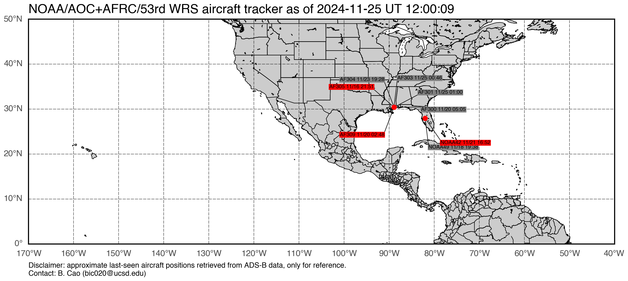
ARO deployments during the AR Recon and HFP campaigns were made possible through collaboration with the NOAA Aircraft Operations Center (G-IV and WP-3D) and the USAF 53rd Weather Reconnaissance Squadron (WC-130J). They provided essential technical, logistical, and operational support.
Computational resources and model development were supported in part by: